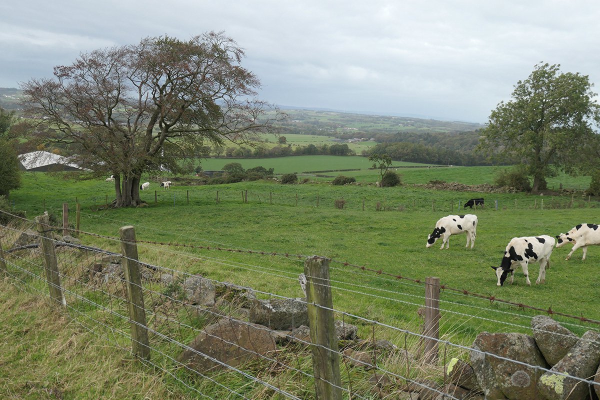
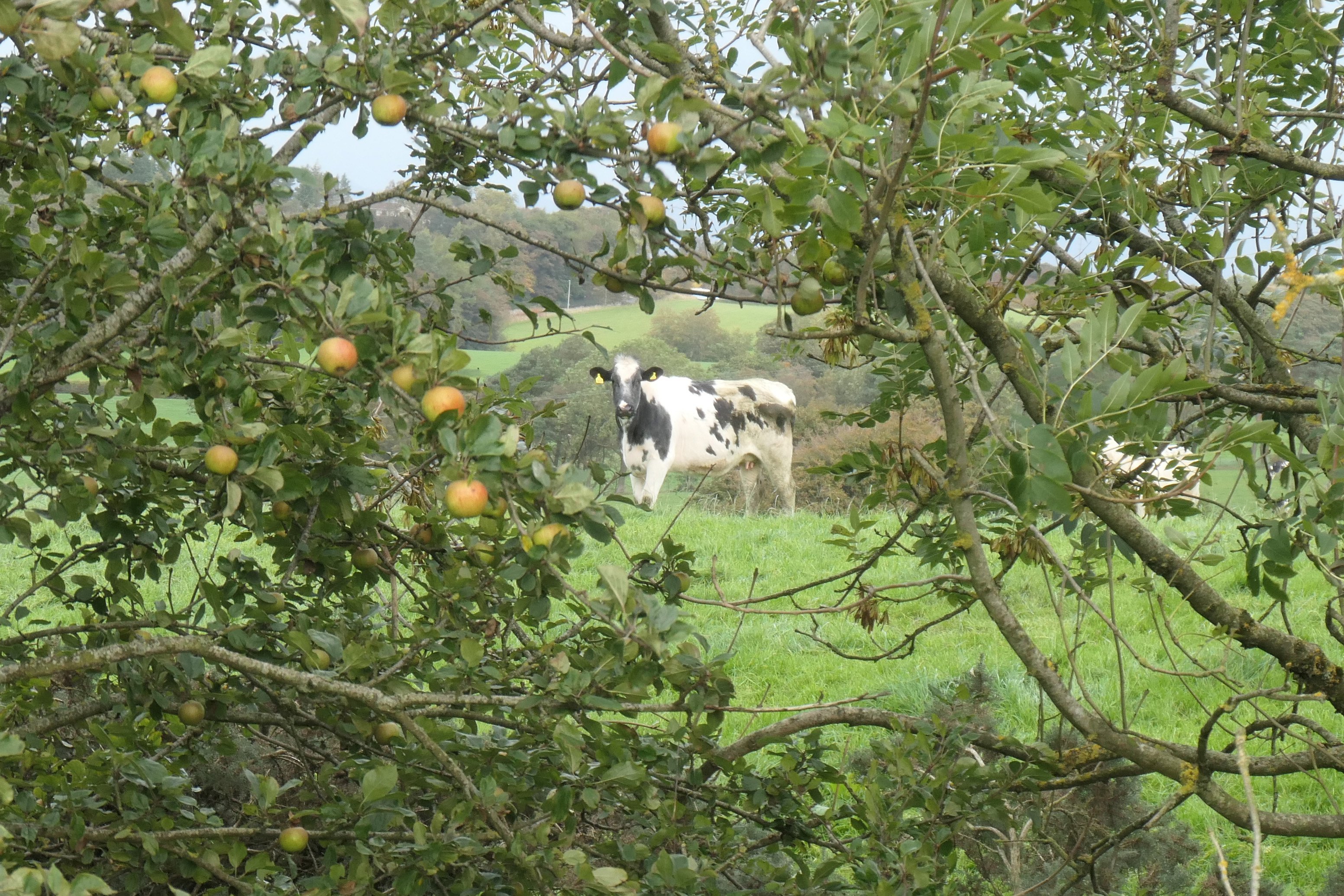
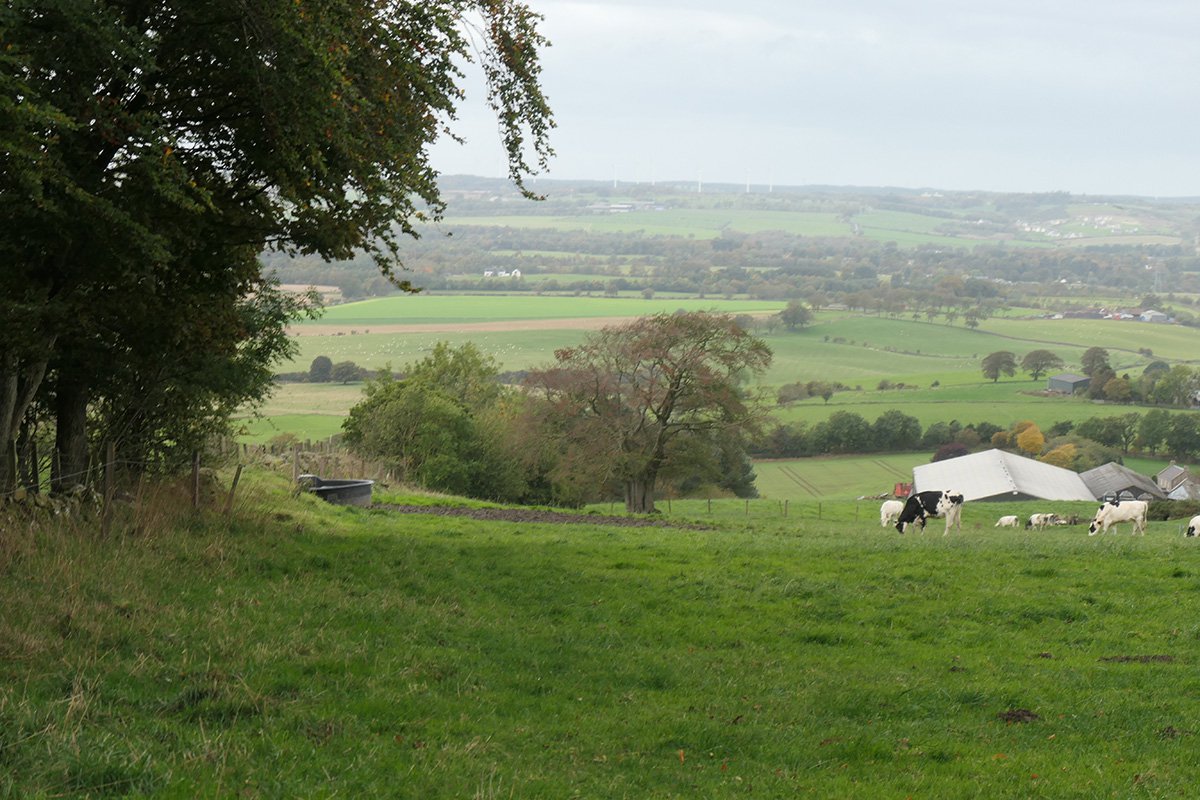
Seams of coal outcropped on the western slopes of Cairnpapple hill, and were presumably worked prior by 1607 when "a collier named Sandy Maud" famously discovery silver ore on the eastern side of the hill while prospecting for coal. Almost all of the coal worked in the Hilderston area was used to fuel the many lime kilns within the range of limestone quarries that lay a mile or so to the east. The extensive limestone workings of the Bathgate hills were well established by the mid 18th century, and probably reached its peak in around 1800. The rise and decline of the Hilderston pits seem to have followed the fortunes of the lime industry.
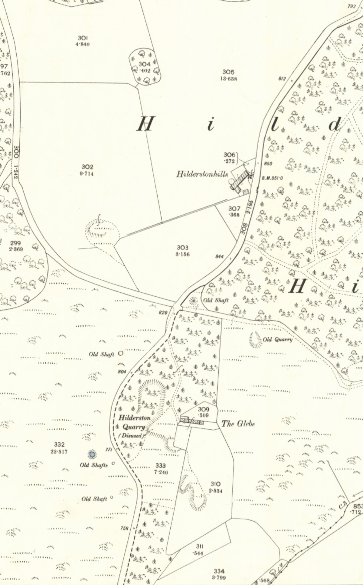
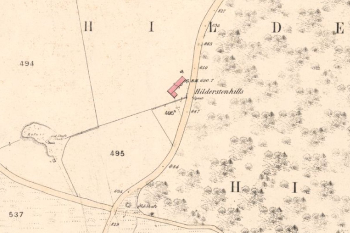
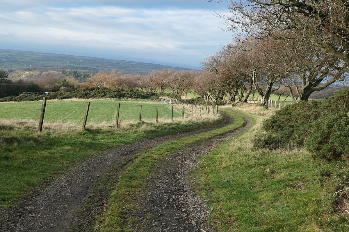
In early days, the coal was worked in a succession of shallow pits, but over a prolonged period a complicated arrangement of shafts and workings developed. A row of miner's cottages were built, and later a freestone quarry added to this industrial scene. The 1855 OS map shows one pit site in a ruinous condition and the location of seven "old shafts" and "levels" within the lands of Hilderston.
A new pit was established, or old working re-opened, at Hilderston Hill in about 1860 which operated for about 15 years. The same pit reopened in the 1930's and operated for a few years.
See also, West Lothian's most scenic pit bing
Unidentified shaft No.1
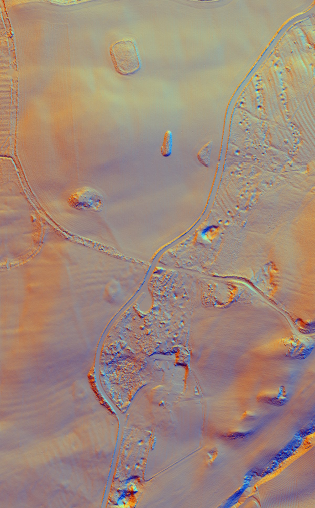
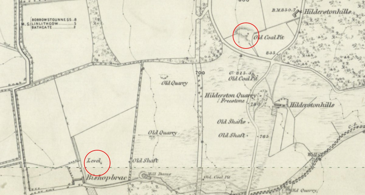
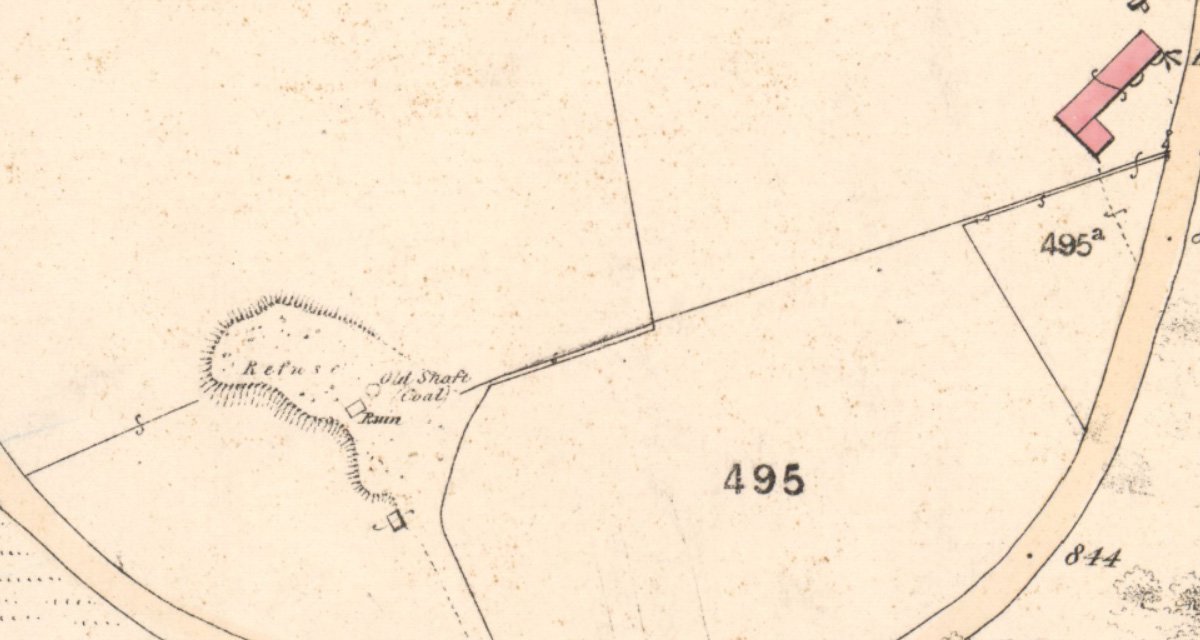
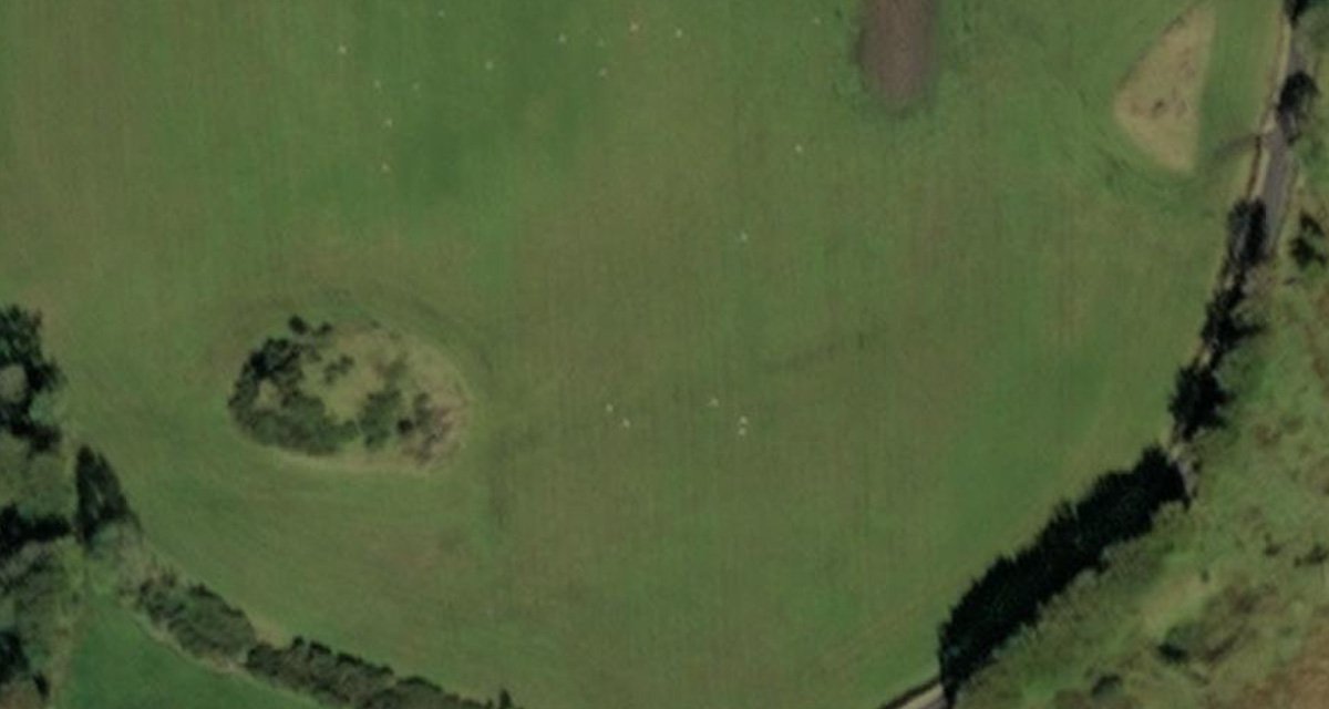
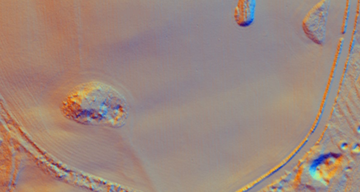
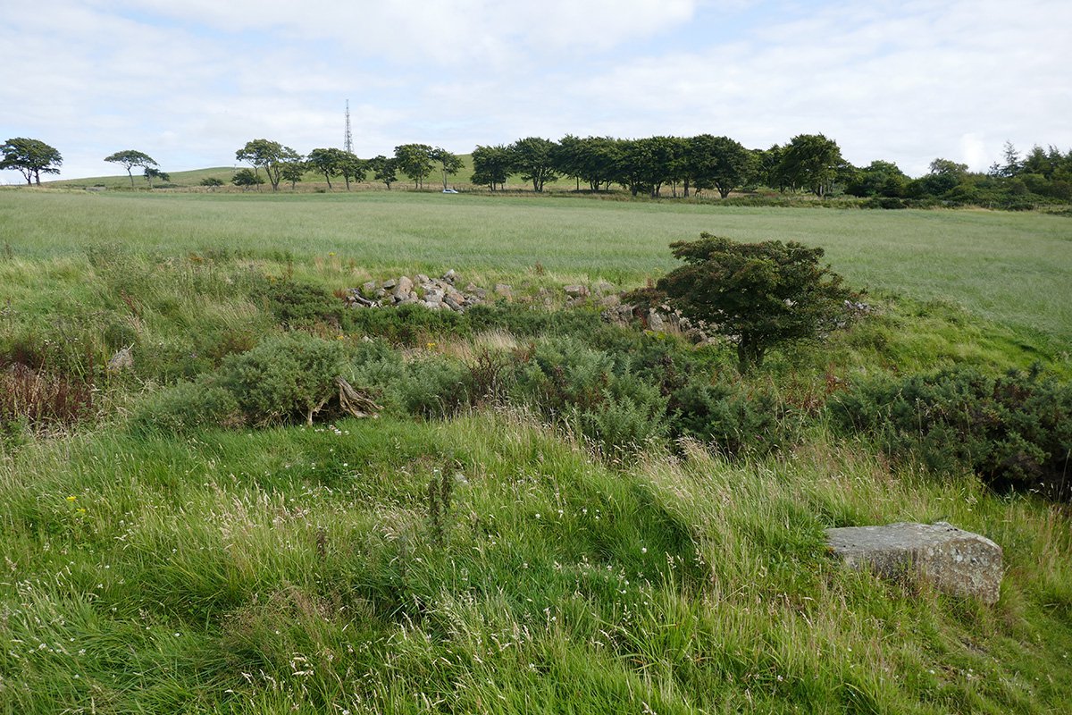
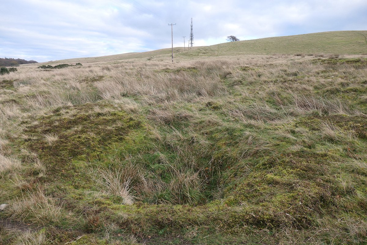
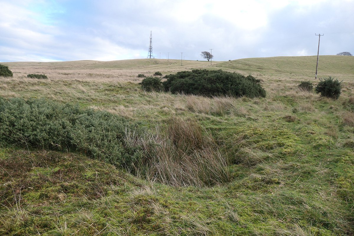
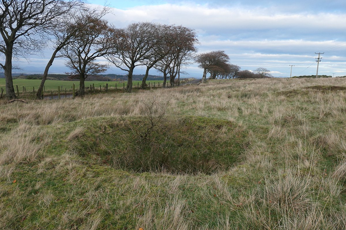
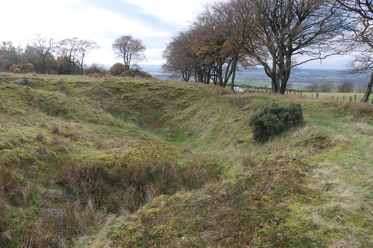
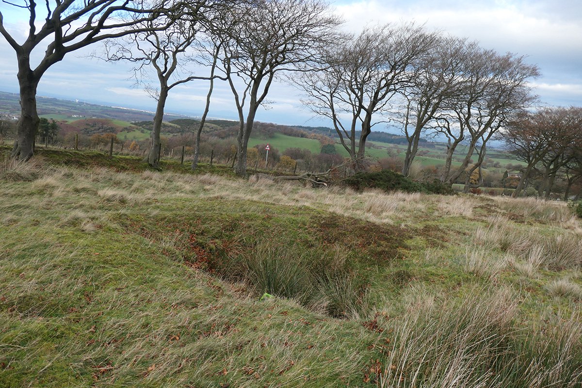
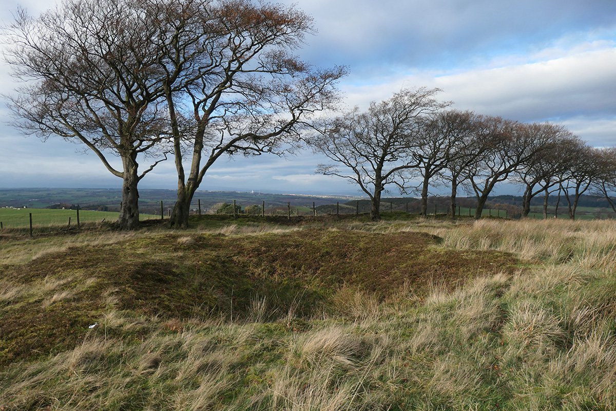
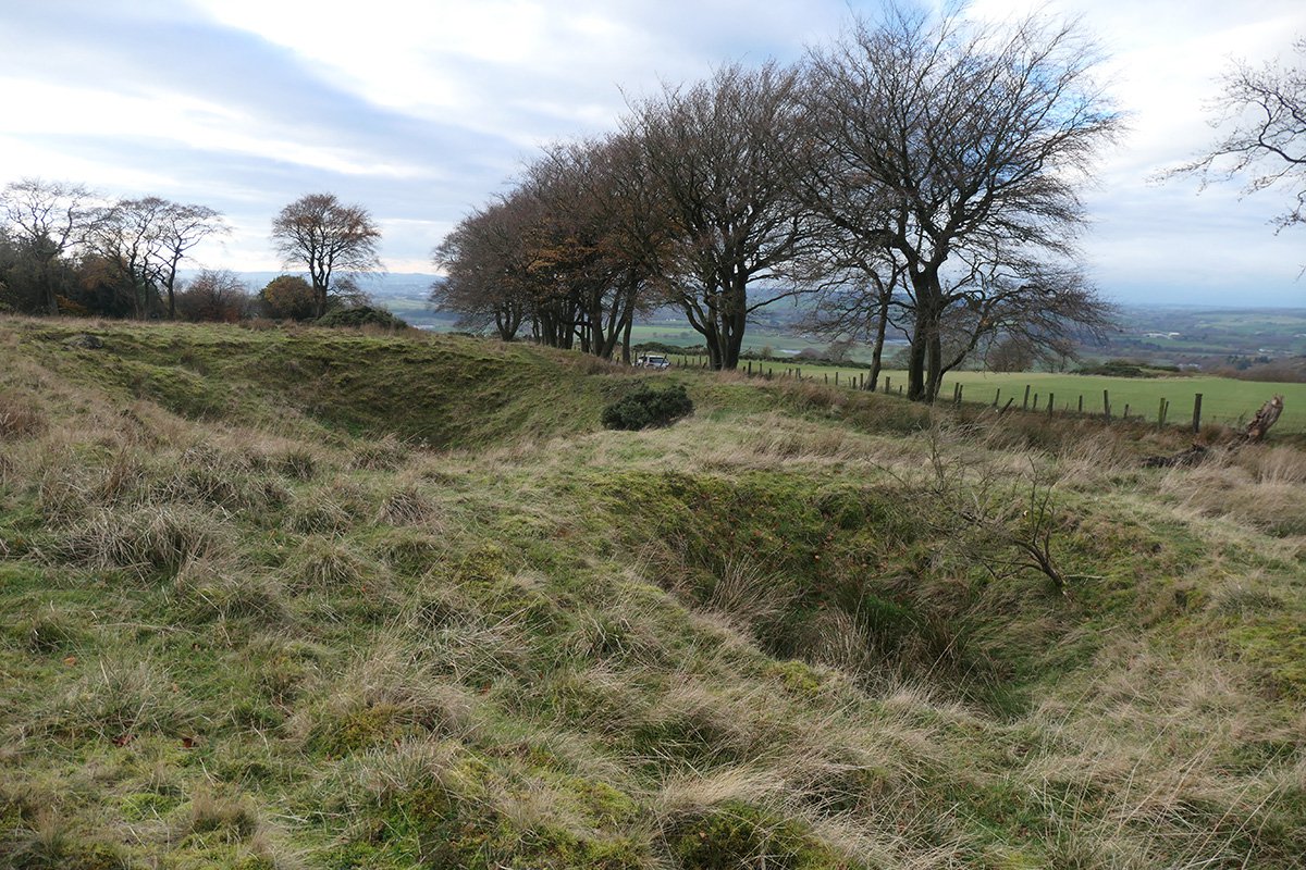
Labelled as "old shaft" and "ruin" on the 1855 OS map, the bing and other features at this site represent the most substantial surviving remains of the Hilderston pits . It may be the pit referred to in the OS Name Book which notes "North of Hilderston Quarry is a coal pit 58 fathoms in depth and communicates with a level, by a tunneled road way, at the base of the hill, although this pit has not been worked for some time, owing to some misunderstanding between the proprietors there is still abundance of coal to be obtained from it". It might have been linked underground to the level marked on the 1855 map further down the hillside and close to Bishopbrae farm.
Outcrop Workings
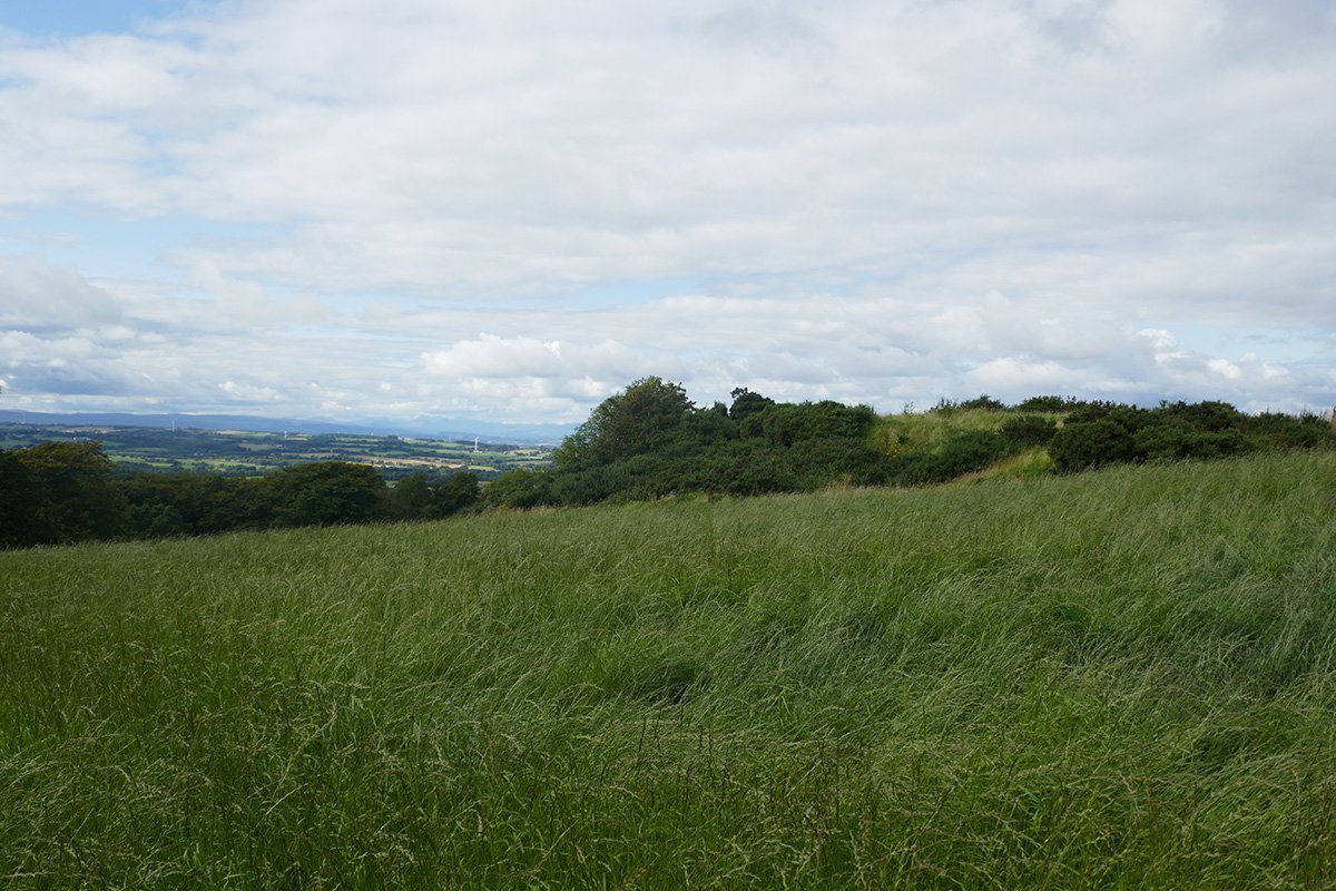
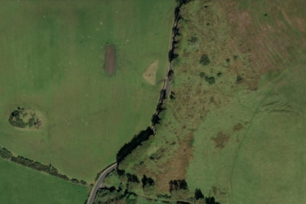
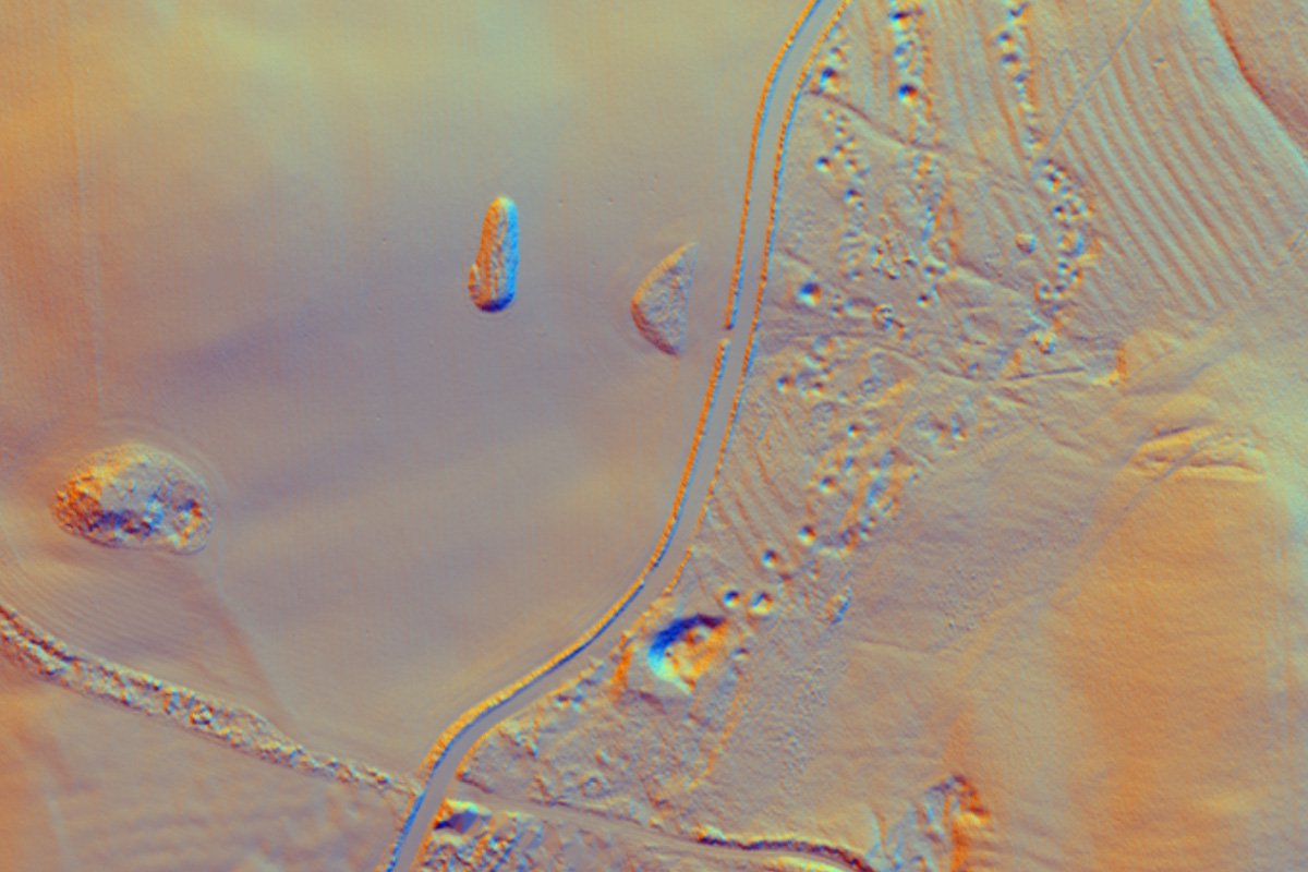
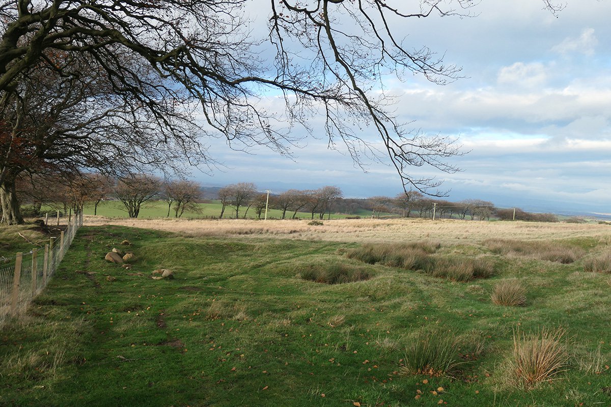
A series of small pits and mounds, that can be seen in aerial lidar images as arranged in lines that presumably coincide with the outcrop of coal seam. Presumably these are the features described in the 1855 OS name book “there are a number of old shallow coal pits or diggings scattered about, from 15 to 20 feet deep when coal was obtained in former times, but only superficially, they are all of funnel shape, wide at the top and narrow at the bottom."
Unidentifed Shafts No. 3, 4, & 5
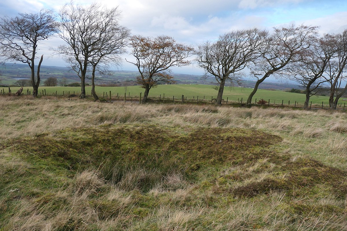
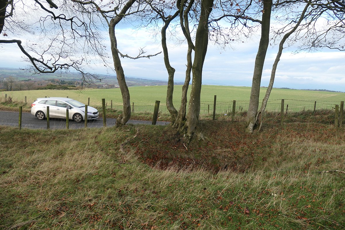
Sites marked as "old shaft"on the 1855 OS map, immediately west of the road from Ballencrief toll. The location of shaft 3 is marked by a small rise in the profile of the land.
Unidentified Shaft No.6
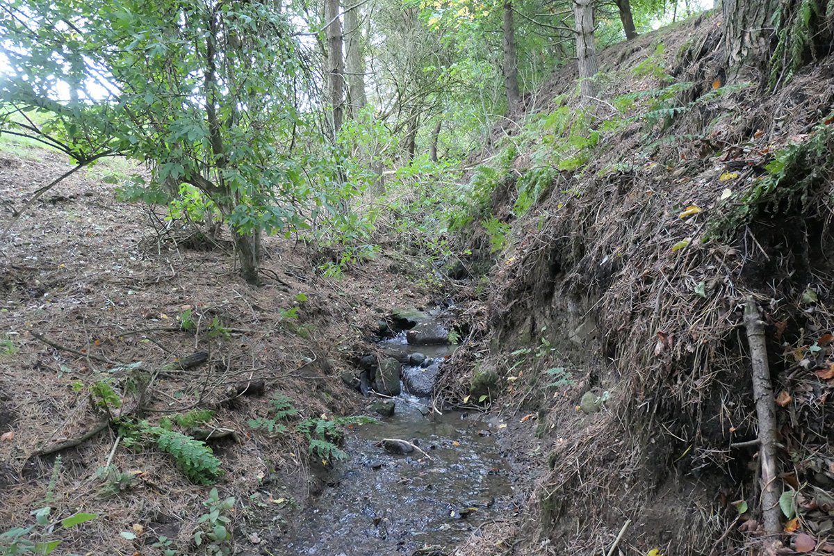
Mine abandonment records indicate a number of pits immediately north of the Crinkle burn, and close to Bishopbrae farm. No significant trace of these survive.
References
Coal is very plenty; a coal-mine has been wrought on the wester declivity of Cairn Napple for a considerable time, but is only made use of by the proprietor for burning his lime, which is in the neighbouring parish of Linlithgow; about two miles farther west. On the farm of Killicanty, a coal-mine was wrought for a tell long period, till within about 20 years past, as might still be wrought if there was encouragement. In this farm, too, there is iron-stone, a seam of it having appeared on cutting into the hill for the purpose of levelling a road; they are about 18 inches a-sunder, and each about 5 inches thick, and a good quality.
Parish of Torphichen, county of Linlithgow, OSA Vol IV 1792
.......
On the Hilderston hills, on the west side of the Bathgate ridge, there is a coal mine, the mouth of which must be at least 800 feet above the level of the sea. The height has been manifestly caused by the unheaving of the ridge where the trap forced its way from beneath, raising in its passage the superincumbent strata, as the mine is worked in from the top where the coal crops out. Nearly opposite, on the eastern shoulder of the same hill, there is a limestone quarry in which many shells are found, chiefly ammonites, some of which are unusually large. Some fossil fishes are also said to be found. A coal mine has been recently opened in the hollow between the Kipp hills, the Torphichen wavy range, and the continuation of the Bathgate range, running through Cathlaw estate. The coal bed seems to lie in a kind of basin formed by these ridges, and can scarely be expected to be very productive or permanent from the nature of the situation.
Parish of Torphichen, county of Linlithgow, NSA, Vol II 1845
.......
At the east side of the colliers' houses at Hilderstone, old working in the small seams of the Hilderstone coal are seen where they crop out in the Hilderstone freestone quarry; the upper seam is the red and the lower the black coal. This is understood to be the same as Ballencrieff coal, being of the same thickness, and having also a stone set in the centre of it. The pit is 60 fathoms deep; the seam which is at present wrought is 32 fathoms from the surface; it is 2 feet 2 inches thick, and dips north-west 1 foot in 2.5 feet. It is only used for burning limestone, and is worked stoop and room. There is another pit, 44 fathoms deep, not now used, which is to the main coal, and also a stair pit to the present working pit. There are a number of faults in this field. There is a hitch of from 4 inches to 9 feet deep, every 27 fathoms; they run through the whole of the beds, and there is fault 139 yards south of the present working pit, which throws the coal up from the south,
On the mines, minerals and geology of West Lothian - Charles Forsyth, Transactions of the Highland and Agricultural Society of Scotland, III series, vol 2. 1846
.......
Hilderston Hills - there are a number of old shallow coal pits or diggings scattered about, from 15 to 20 feet deep when coal was obtained in former times, but only superficially, they are all of funnel shape, wide at the top and narrow at the bottom. North of Hilderston Quarry is a coal pit 58 fathoms in depth and communicates with a level, by a tunneled road way, at the base of the hill, although this pit has not been worked for some time, owing to some misunderstanding between the proprietors there is still abundance of coal to be obtained from it
West Lothian OS Name Books, 1855-1859 West Lothian volume 55
.......
THE HILDERSTONE PITS.
It is worth mentioning that near Mr Kerr's farm, Hilderstone, on the Linlithgow and Bathgate Road, there is at least half-a-dozen pits where coal was got. One of these, known as the Hilderstone Pit, showed up till some thirty years ago, a spiral wooden staircase by which the workers, believed to be mostly women, ascended and descended with their baskets of coal. None of these pits, however, have been worked within living memory except that owned by Mr Johnston, banker, known as East Main pit. Some thirty years ago, it, too, had to be abandoned, the facilities for disposing of the coal being quite inadequate to cope with the better facilities offered by pits nearer railway lines. Most of the pits in the vicinity of Hilderstone have been partially or wholly filled in, but there are ample indications at the present day of these old pits having been used. The "Zareba," known to followers of the hounds, has often seen a good coal fire, showing that at one time coal was quite plentiful in this quarter.
West Lothian Courier, 18th May 1906 See full record