Most of land ownership boundaries show on this map are derived from a plan in our collection dating from the 1870's. Information is incomplete or inconsistant for areas outside this plan
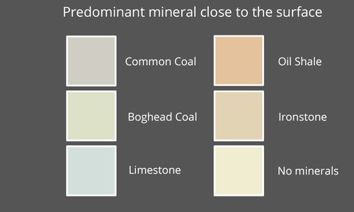
Lands have been colour shaded to indicate the predominant mineral worked from shallow pits in those lands; although in many areas a variety of minerals were worked. No account is taken of 20th century mine workings at a substantial depth, which often extended a considerable distance from the pithead.
The mining of oil shale was based on the lease of mineral rights. These legal agreements gave oil companies an exclusive right to mine shale (or other minerals) beneath a particular area of land for a fixed period of time. In return, the land owner received a royalty for each ton of shale mined.
The pattern of land ownership changed little over the 100 years in which the shale oil industry was active. Large areas of land were still owned by hereditary feudal landowners, other land formed the country estates of the landed gentry who had earned their fortune in 18th century trade. Some of these estates passed to the ownership of Victorian industrialists including some leading figures for the shale oil industry, however despite changes in ownership, there was little change to the boundaries of these blocks of land Each areas of land ownership might be divided into number of farms, which were let to tenant farmers. In some instances farms were controlled by the oil companies under the terms of their lease. In the the 20th century, as estates were sold, some lands were purchased outright by the oil companies.
The land boundaries used in section are mainly transferred from a large hand-coloured plan in our collection, probably prepared by Young's oil company, and dating from the 1870's. In addition to the land boundaries, the map is annotated with the names of the owner and (were relevant) the mineral lessee. Some information from outside the area of this map has been transferred from other plans, however much information is incomplete, and some area shown on the map have been truncated.