Shaft in the lands of Woodmuir, one of a group of Woodmuir - early pits (north)
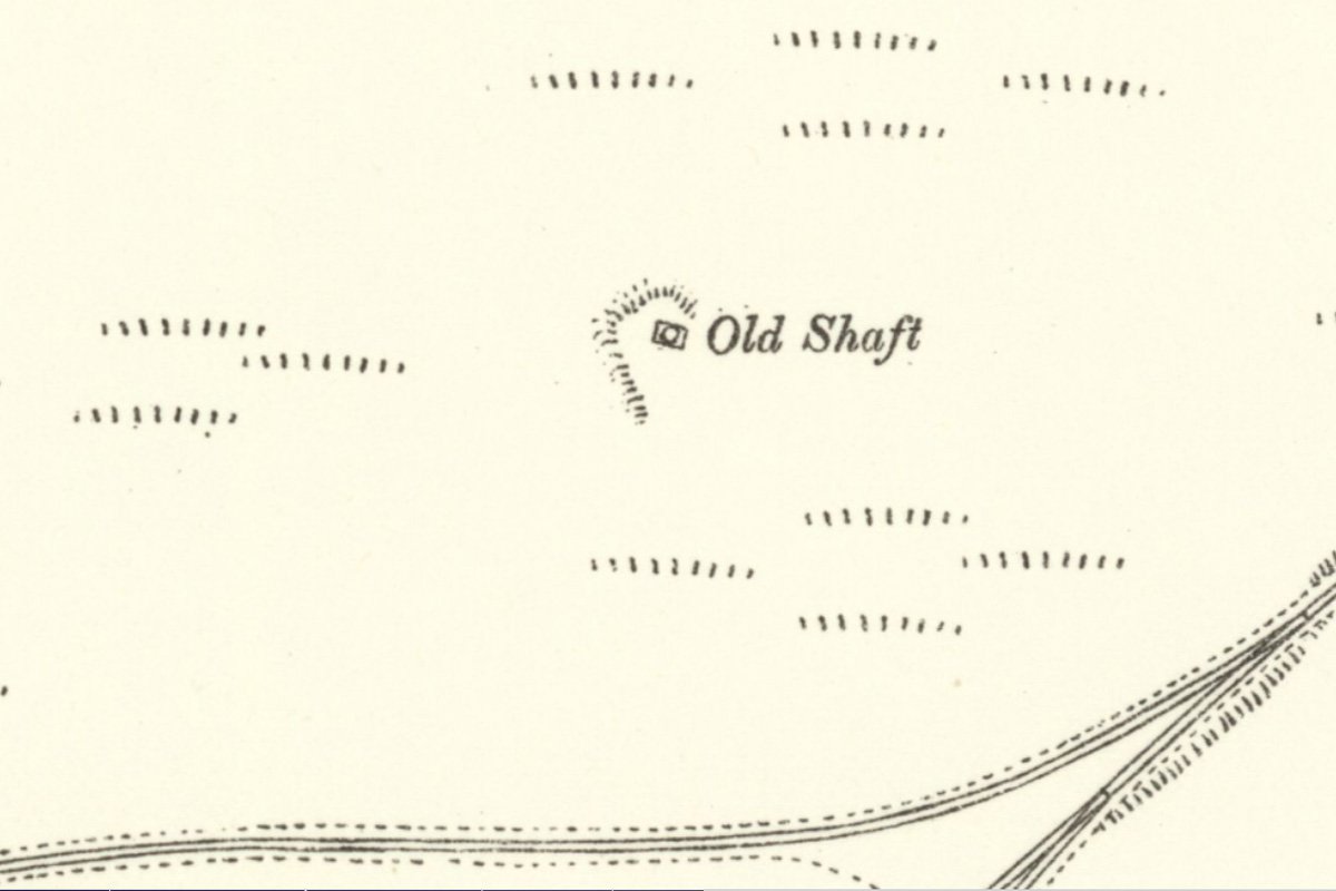
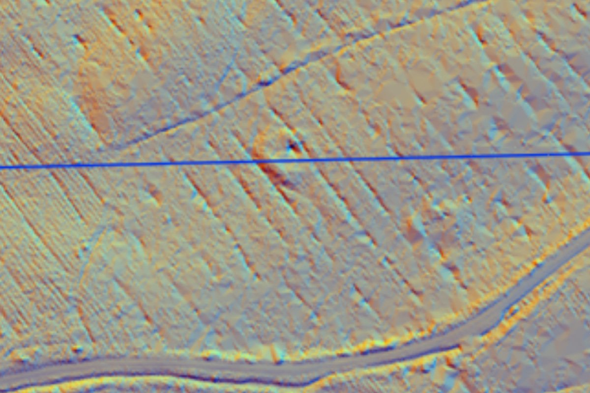
An abandoned pit shaft marked on the 1939 6" Geological Survey map and labelled "Gin Pit". Not marked on the 1855 OS map, but shown on the 1895 map as a crescent shaped earthwork around a shaft. A depression on the site of the shaft, surrounded by a bank of spoil, remain within a conifer plantation.
Enquiry form