Shaft in the lands of Woodmuir, one of a group of Woodmuir - early pits (north)
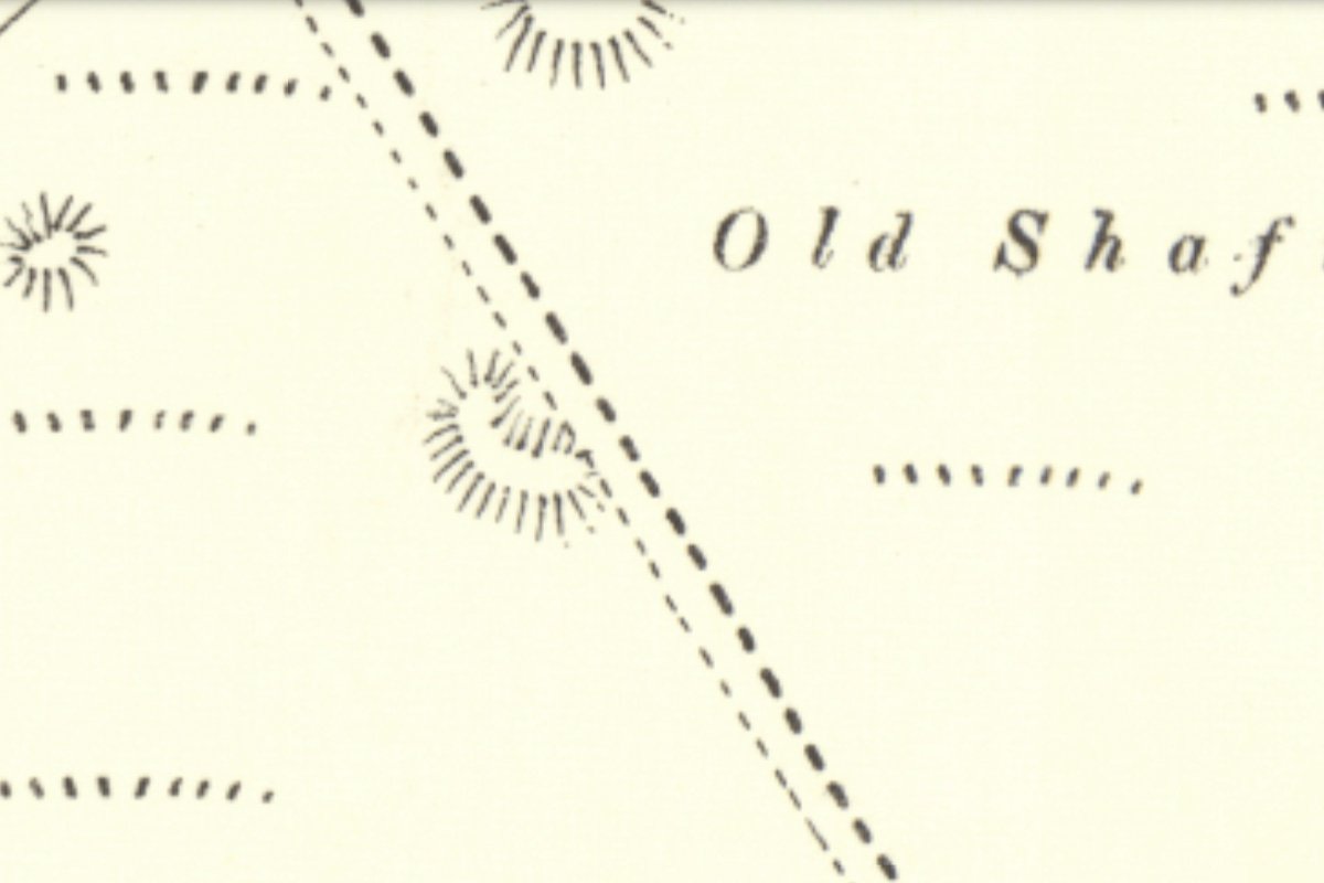
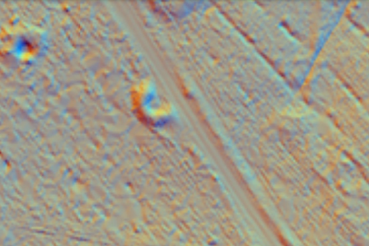
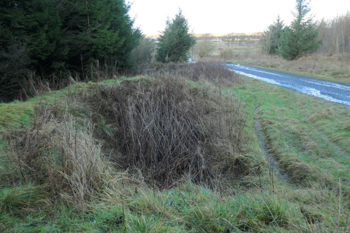
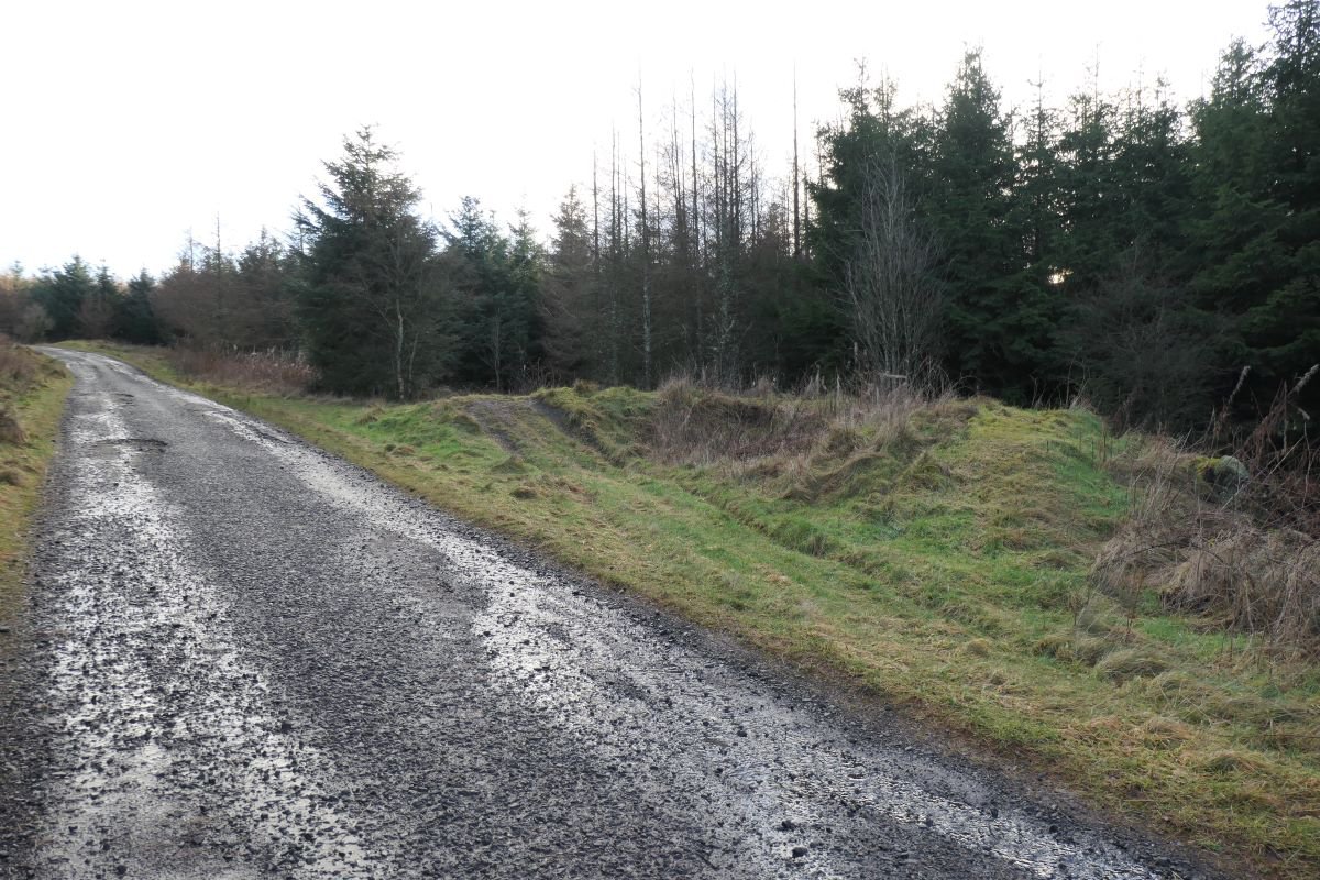
An abandoned pit shaft marked of 1939 6" Geological Survey map. Not marked on the 1855 OS map, but shown as a crescent shaped earthwork on the 1895 edition. The earthwork (presumably the circular margins of a shaft, sliced through on one side by a road) is still clearly evident.


Enquiry form