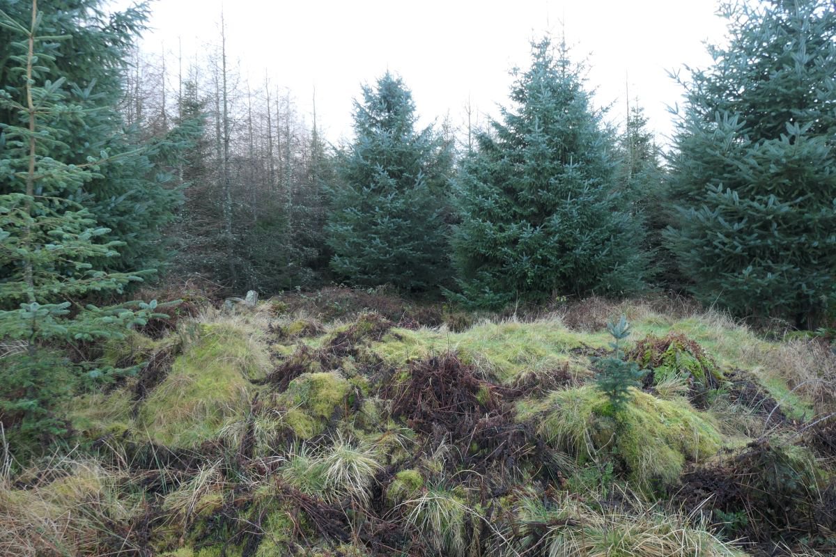
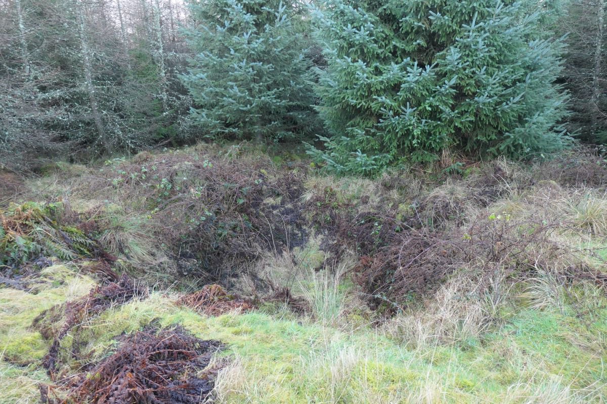
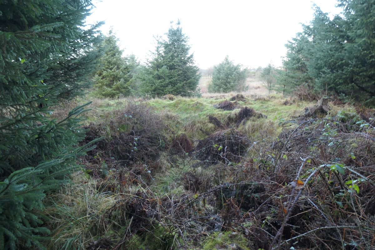
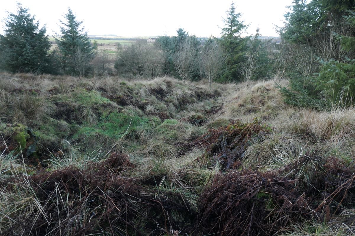
Shaft in the lands of Woodmuir, one of a group of Woodmuir - early pits (north)
An abandoned pit shaft marked of 1939 6" Geological Survey map. Not marked on the 1855 OS map, but shown as a series of earthworths on the 1895 edition. The site is now marked by a pronounced depression within a ring of spoil, surrounded by trees. Linear cuttings downhill to the north might represent drainage channels or a drainage adit associated with the shaft.
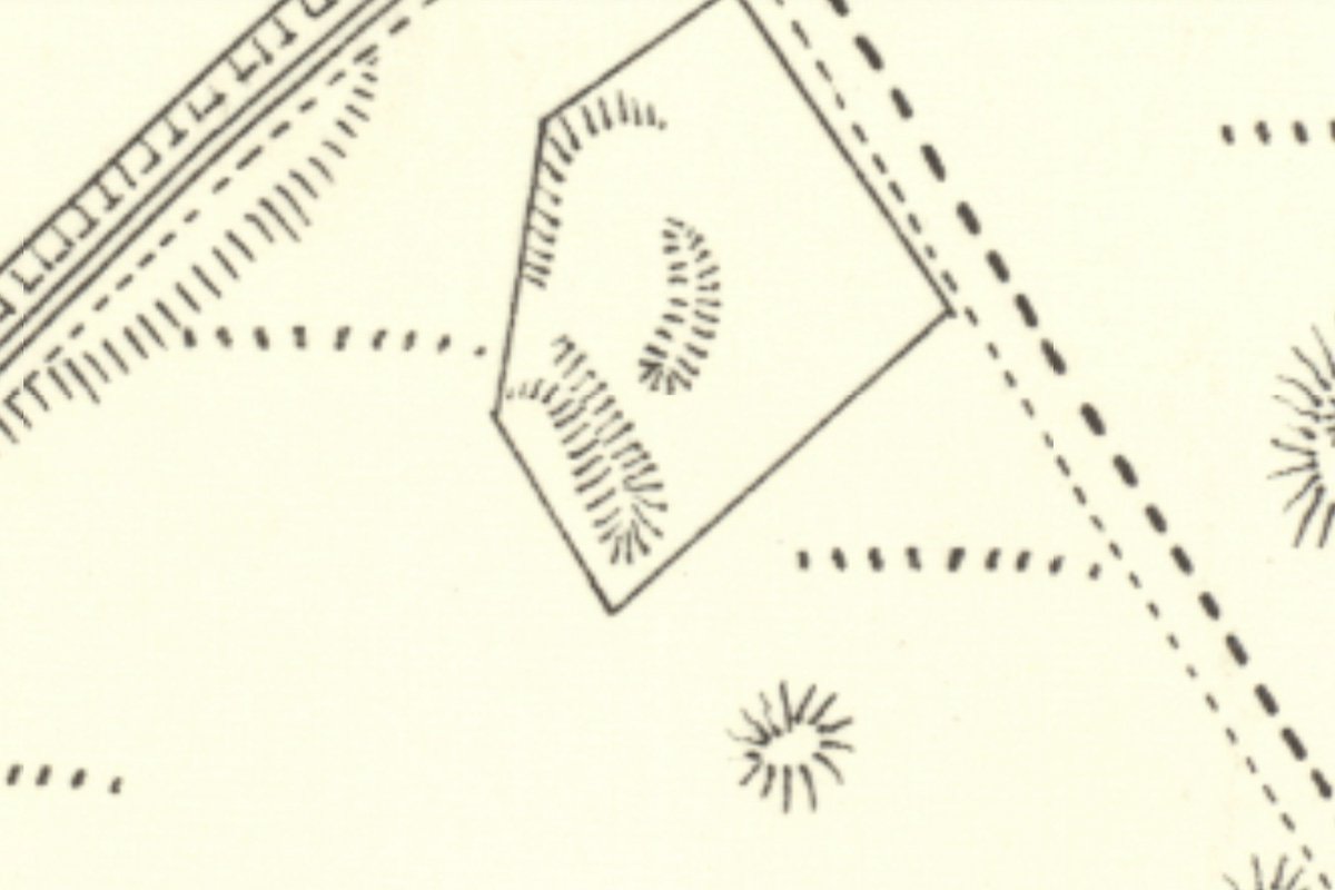
25" OS map c.1895
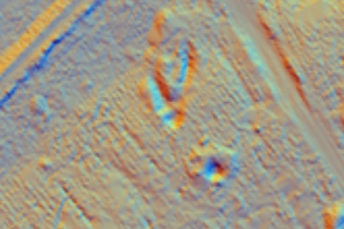
Lidar view
Enquiry form